Devils Peak – Cape Town

Devils Peak is one of the three peaks in Cape Town, South Africa, and I had the opportunity to try and run to the top of the peak. Now what’s crazy is that I grew up in Cape Town but never took the trip up. It never ever even crossed my mind.
It’s only in my recent years of taking on different challenges and runs that I put this on my list of things I want to achieve.
This is one of my greatest achievements. I enjoyed making this video. Even watching it through the edit I so wanted to get back on that mountain.
I included some very cool music for you to enjoy as well.
Devils Peak – Cape Town, South Africa
Most of the best opportunities are right in front of us, but we may not always be ready to see them.
I lived in Cape Town most of my life and drove past Devils Peak and Table Mountain almost everyday. While I, like many other Captonians, did take the occasional hike up the mountain and on the different trails, I never thought to head up Devils Peak.
Loins Head and Table Mountain are the obvious and very popular choices. Maybe because they seem so much more accisible, but for some reason, Devils Peak just wasn’t on my list. That all changed when I started my running journey back in 2024 at the age of 48. Can you believe it, for all those years of my life I wasted so much of my time, but let’s not dive into that rabbit hole. Let’s talk about Devils Peak and what you can expect if ever you decide to take the walk, or even run, up that beautiful peak.
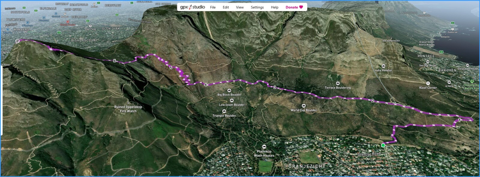
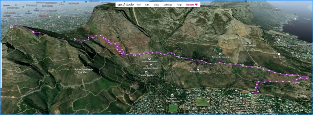
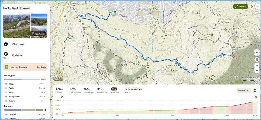
While there are 3 routes that you can take to Devils Peak, I opted for the Tafelberg Road route.
Highlights
Time: 2.5 hours (Up)
Distance: 4km ± (from the trail head/start)
Challenge: Fair with sections of “BIG Steps”
Doing this in Summer is great. The sun sits high in the sky until about 19:45 when you’ll generally hit sunset in Cape Town. Before sunset you’ll be hit by the shadow of Table mountain so it will get dark pretty quick once the sun dips behind that mountain.
This is a great opportunity for some pretty spectacular photography of Table Bay with that golden hour light steaming in between Loins Head and Table Mountain.
Let’s start the journey up
Devils Peak trail is on Tafelberg Road. This is a popular road during the summer months, especially in high tourist seasons so expect a bit of bustle.
If you just want to drive to the trail head then you can do so by travelling all the way past the lower cable car station and carrying on until the road comes to an end. Just before you reach this point is where you’ll find the trail head for Devils Peak.
//// Add Picture of trail head
From this point your journey is mostly up. This is something that most people can complete, although the better the fitness the easier it will be, there is still going to be an up journey with some sections harder than others. I have a reasonable level of fitness so I rated this as medium in difficulty.
medium difficulty
Most of the beginning section is rock steps taking you almost all the way up. The first kilometre is switchbacks taking you up to the saddle, with plenty of signage along the way to guide you.
Where things get tough
Once you get past the saddle you’ll face some bigger rocky steps. This is the part where I slowed down a bit to take in the many amazing views. I actually couldn’t decide which way to look there was just so much beauty around in every direction.
You may also get gusts of wind at this point and working through the saddle. While the wind was strong and it did feel a little colder, it was still pleasant enough that I didn’t need a jacket. I normally have a running top (thing top) with me but didn’t really feel the need for it through this windy, slightly colder section.
It was the middle of summer and a very hot day. So on colder days you may want to have a top with you just in case.
Getting to the summit
Once you’ve come through the saddle and over the little bit of climbing over bigger steps and rocks, the journey is a lot more pleasant. The hardest part is over, but your still about 15 minutes walk from the summit.
It’s not flat, but after the bit of climbing you just did, it’s going to feel much more comfortable.
The signage near the summit isn’t great – or I just missed all of it, but the summit beacon should be visible so a bit of common sense and focus on direction should easily get you to the top.
At the top
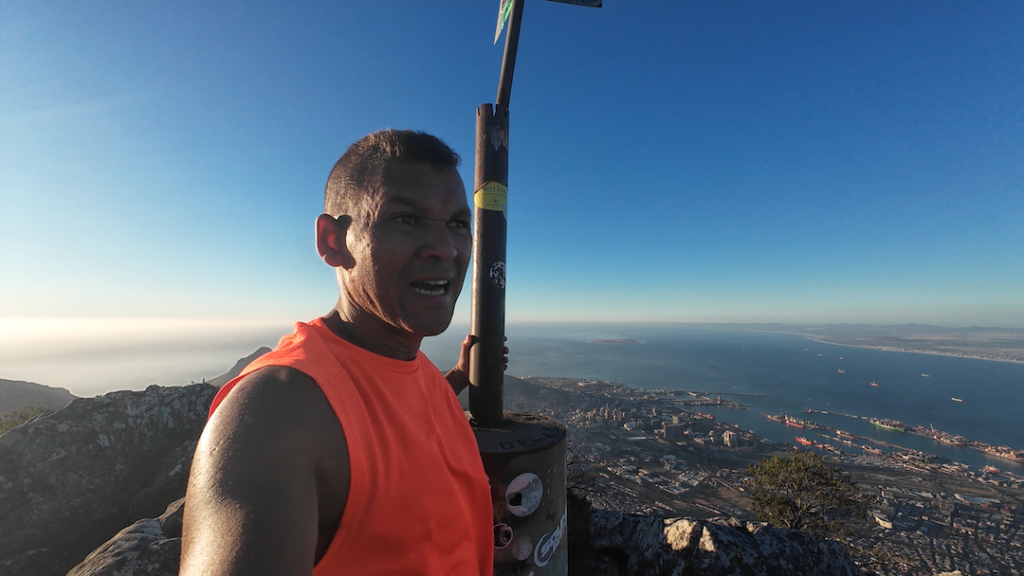
When you first get to the top the beacon you’re seeing is not the highest point. There is a second beacon in a easterly direction that is the highest point.
On the day I went up that first beacon wasn’t very windy but the second beacon was. There’s also less space to move around and because of the wind, I did feel a bit unstable at first and held onto the beacon for that extra feeling of safety.